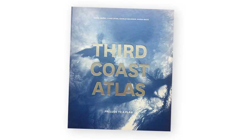
Measuring more than 10,000 miles, the Great Lakes coastline — known as America’s “third coast” — is longer than the Atlantic and Pacific coastlines of the United States combined. Look at maps, diagrams, timelines and photos of the Great Lakes in the book, “Third Coast Atlas.” Providing in-depth analyses of the landscapes, hydrology, infrastructure, urban form and ecologies of the region, this publication will teach you a thing or two about the Great Lakes. For more information, visit ACTAR.COM/THIRD-COAST-ATLAS.


