

TORONTO/LAKE ONTARIO PHOTO BY SEAN_MARSHALL/FLICKR
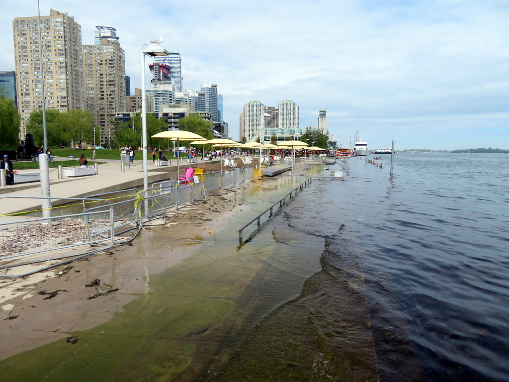
High water levels around the Great Lakes have been in the news for what seems like quite a while now — all five are currently seeing record levels, according to Popular Science.
But history shows below-average levels in the 2000s. This is due to a high/low pattern not seen along the east or west coast, which have only seen rising water. Scientists have found that natural water cycles are partially to blame, but that global warming and climate change are probably just as guilty.
The U.S. Army Corps of Engineers began collecting water levels in 1860, and recent numbers have been all-time highs. Although the lakes usually see a consistent increase in the spring due to rain that continues into the summer, winter weather has had more of an impact recently thanks to lower temperatures and ice.
In 2017, to better predict whether the waters will rise or fall next, scientists placed water level gauge stations that measure six feet wide with an 8-foot square brick. As of 2017, there were 53 stations from Lake Superior to the St. Lawrence River.
With record rainfall and ice, levels are still hard to forecast, and that could mean more shoreline erosion and property damage.
“Predicting outcomes with any certainty is nearly impossible,” says Greg Mann, the NOAA National Weather Service Forecast Office operations officer. “I know that isn’t satisfying, but that is how things work.”
To learn more, visit popsci.com/story/environment/great-lakes-water-rise.