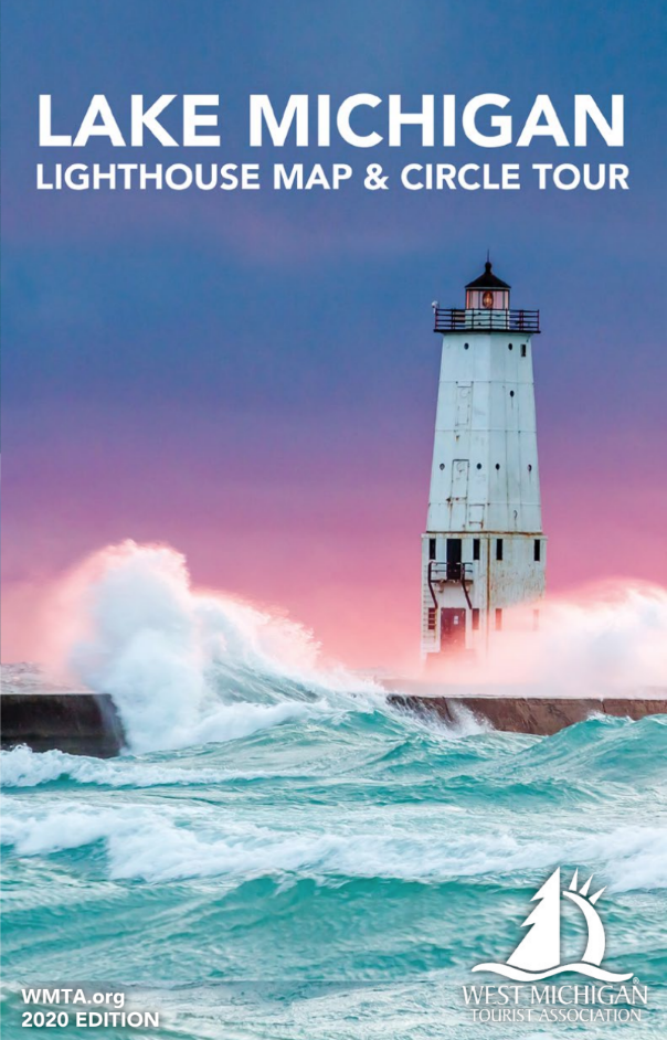
PHOTO BY WMTA
The 2020 West Michigan Tourist Association (WMTA) Lake Michigan Lighthouse Map & Circle Tour map is now available to download. This is a free poster-sized publication which details all of the lighthouses located on the shores of Lake Michigan, as well as the Circle Tour driving route to guide motorists around the lake.
The map has been published every year since the 1980s. The Circle Tour began informally in the 1960s, but the official “Lake Michigan Circle Tour” route was not established until 1988 when the Michigan Department of Transportation teamed up with WMTA to create the route and its official 52-page guidebook. Publishers switched to a map format in 2007.
To download your free copy of this year’s map, click here.


