

PHOTO BY CAM BRENNAN
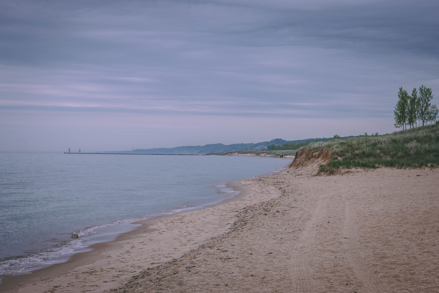
The Interdisciplinary Citizen-based Coastal REmote Sensing for Adaptive Management (IC-CREAM) project is hoping to unite scientists and the community in an effort to help document and better understand coastal change and erosion along the Michigan shoreline.
Recently funded by a $300,000 early concept grant from the National Science Foundation Coastlines and People Initiative, the project is working to equip and train volunteers in various Michigan communities like Marquette, Manistique, Iosco County, Chikaming Township, Manistee and South Haven to pilot drones and use other geospatial technologies to monitor and better understand coastal change in those regions.
Despite lower water levels, the risk of coastal erosion still remains high, report Michigan State University researchers behind the project. The project hopes to empower Michigan coastal communities to gather their own data and upload photos to a web app to help support education around coastal erosion and susceptible areas.
“Take a picture with your phone. That photo has a geotag located, so all you have to do is upload that photo to the web app, and put in some information about like when it was collected, all that kind of stuff, and that helps us document it,” says Ethan Theuerkauf, reports Great Lakes Echo. “We’re working hand in hand with those communities, we’re working hand in hand with the public, to provide information that we know is useful because we worked with them from the onset to decide what direction we need to take with this data collection and this processing.”
For more information, visit socialscience.msu.edu.