

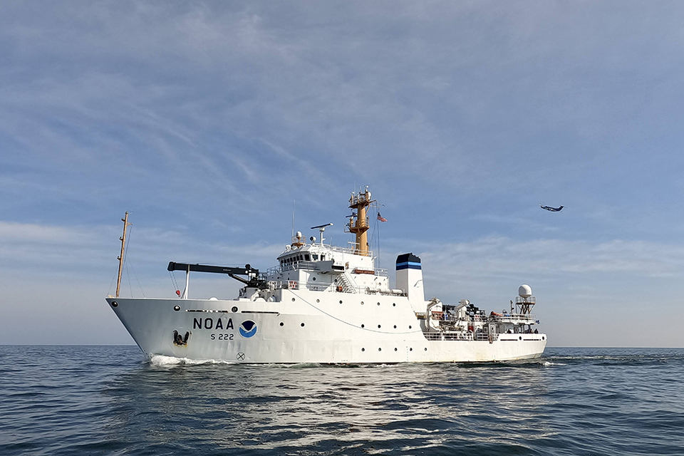
The NOAA ship Thomas Jefferson is underway in the Great Lakes for the first time since 2022. The vessel and its crew will work with NOAA scientists to map waters of western and central Lake Erie and eastern Lake Ontario this year in aims to improve navigational safety. Western Lake Erie hasn’t been surveyed since the 1940s, and is one of the shallowest areas within the Great Lakes marine transportation system that is highly trafficked by commercial and recreational vessels. NOAA’s nautical navigation products and services from seafloor mapping surveys help ensure a safe and secure ocean economy, reducing collisions, identifying dangers to navigation and facilitating more efficient and successful fishing operations.
As one of the least mapped regions of the U.S., Great Lakes surveys are vital for mariners in the region. In addition to operations on larger vessels like the Thomas Jefferson — which will also do surveys within Lake Ontario National Marine Sanctuary to identify critical habitats — NOAA also maps critical areas of the Great Lakes each year using navigation response teams. This year, those teams will map Thunder Bay National Marine Sanctuary; western Lake Erie; Braddock Bay and Vicinity, New York; and Green Bay, Michigan and Wisconsin. These projects contribute to the collaborative Lakebed 2030 initiative to map the Great Lakes, as well as the Great Lakes Restoration Initiative’s habitat mapping program.
To learn more, visit oceanservice.noaa.gov.