Digital marine cartography and cloud-based mapping company C-MAP announced coverage improvements for the Americas, with its latest release introducing high-resolution detail across key Great Lakes and coastal destinations.
“We’re excited to bring this latest update to our C-MAP users across the Americas,” says Jakob Svensson, C-MAP product manager. “The scope of improvements — from major Great Lakes refinements to hundreds of inland water updates — reflects our ongoing commitment to helping boaters navigate with greater accuracy and confidence.”
Key updates include Lake Michigan enhancements, with notable improvements around Washington Island, Rowleys Bay and the Winnetka area, alongside extensive broader coverage enhancements; Lake Huron improvements, with detailed updates in the Thunder Bay region; and improvements across Massachusetts coastal waters and updates to 278 lakes across the Americas.
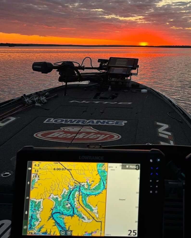
Shaded Relief and Satellite imagery are exclusive to C-MAP Reveal and Reveal X and are available on a range of chartplotters from the Lowrance, Simrad and B&G brands.
These updates are available to both new users and existing consumers who purchased a chart within the past year and maintain an active C-MAP subscription. To explore the latest chart data for your area, visit c-map.com/chartexplorer.
PHOTO: C-MAP FACEBOOK