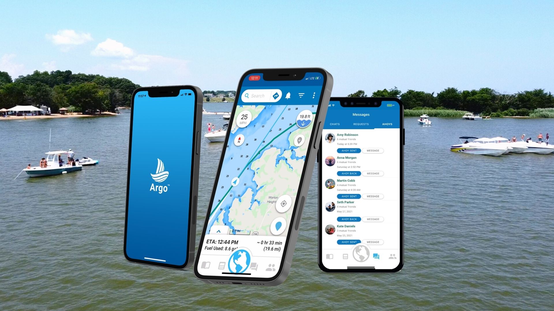
Destination routing is easier and safer thanks to a brand-new robust depth layer the Argo Navigation app now offers, which enables the use of more depth data sources to create a safer and more reliable navigation route.
“Our new depth layer makes Argo’s custom routing more reliable and scalable as we continue to add new sources of depth data for boaters along the coasts, Great Lakes and the numerous inland lakes and rivers throughout the U.S. and Canada,” says Jeff Foulk, founder of Argo Navigation. “The new depth layer platform also enables us to offer more boat customization features and expand our API integration capability for future partnerships in the marine industry.”
This initial version includes data from NOAA and the U.S. Army Corps of Engineers, and offers a new look for increased visibility, including boulder depth numbers and vibrant color gradients. Boaters can autoroute their trip with a custom route based on the boat’s draft, or manually plot their adventure.
In addition to plotting journeys, Argo keeps track of all your routes with a robust Captain’s Log. Future expansions for the app will include data for lakes, rivers and Canadian waters. Download the app for free on the App Store or Google Play.
To learn more about Argo and view app tutorials, visit argonav.io.


