Courtesy of NOAA
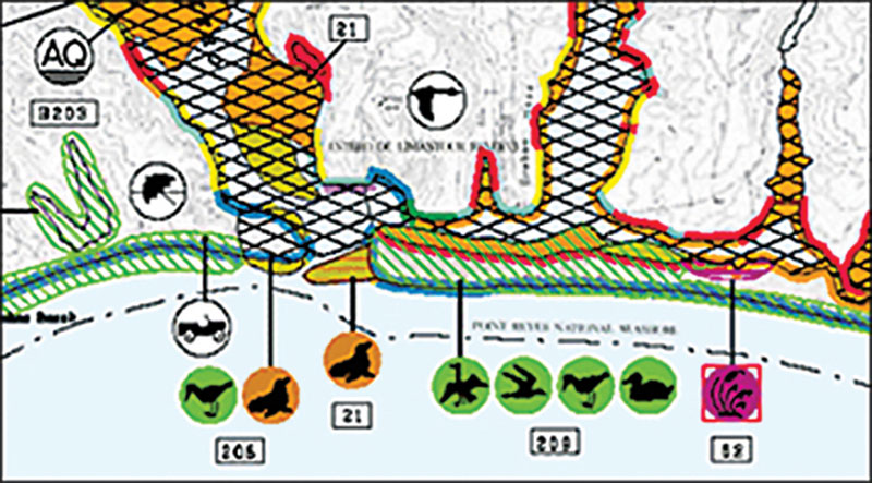
It’s been a long time since the Great Lakes Environmental Sensitivity Index (ESI) maps were updated — nearly 30 years in fact — but thanks to a bipartisan bill that passed in January, they will be updated. These maps will provide more accurate assessments of coastal resources that are at risk of severe damage or a natural disaster, including endangered and threatened species, sensitive shoreline habitats, and widely used community resources such as beaches, parks and boat ramps. The maps are essential for disaster planning and recovery, research and restoration efforts.
“The Great Lakes are vital to our nation — from providing drinking water to millions of people to being an economic engine for communities across Michigan,” says Senator Gary Peters (D-MI). “Efforts to protect the Great Lakes should be considered just as critical as projects to safeguard other major bodies of water and shorelines. I’m pleased that this bipartisan legislation is now law, because it will help provide scientists and researchers the resources needed to protect our Great Lakes.”


