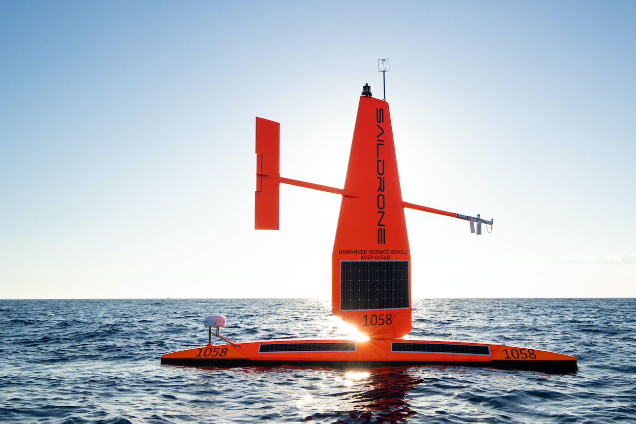
On July 28, two Saildrone Explorers — unmanned surface vehicles that collect data from bodies of water — were deployed in Macatawa, Michigan, for their first mission on any freshwater body. On August 5, the two vessels set off on a 45-day mission to collect data on fisheries in the Great Lakes for the U.S. Geological Survey, and are set to travel through Lake Michigan, Lake Huron and into Georgian Bay.
Specially equipped with a sensor suite that includes science-grade instruments to collect air, sea and skin temperature; wind speed and direction; relative humidity; barometric pressure; photosynthetically active radiation; salinity, dissolved oxygen; chlorophyll; and wave height and period, the Saildrones are on a mission to analyze and report back on the fisheries situation in the Great Lakes, while simultaneously gathering meteorological data.
As the world’s largest freshwater ecosystem, the Great Lakes support a $7 billion commercial and recreational fishing industry, but human-caused and natural changes threaten the health of the region’s fisheries.
The Saildrone Explorers have completed multiple missions throughout the world over the past seven years from the Arctic to the Antarctic, and now they’re bringing their special capabilities to the Great Lakes in efforts to better understand and support fish health in the region. Programmed to avoid shipping channels and hazards, the two Saildrone Explorers are quieter than engine-powered, man-operated vessels, and can analyze both the size and number of fish in the area through acoustic surveys.
To learn more, visit saildrone.com.


