
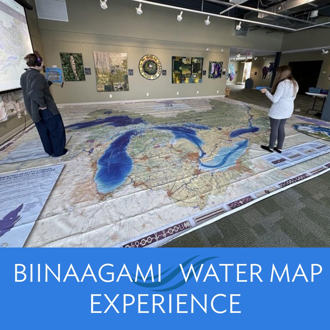
The Bruce County Museum and Cultural Centre welcomed a new augmented reality map of the Great Lakes region that utilizes educational storytelling to share the importance of water in the region. The new Biinaagami Giant Floor Map shares Indigenous knowledge and guides visitors along the path of an Anishinaabe Water Walker, a ceremonial walker who journeys along lakes and rivers to honor water and call attention to its preservation and protection.
“Water almost completely surrounds the Saugeen Ojibway Nation Territory. Lakes, rivers, and shorelines are a major part of daily life for the people who live here. Water is more than something we use — it is life,” said Bluewater District School Board Indigenous advisor Rebecca Chegahno, reports The Owen Sound Sun Times.
Visitors who explore the map will hear original languages and place names connected to the water, discover land use and historic ownership of the land waters flow through and discover new waterways along the way.
The Bruce County Museum & Cultural Centre will work with Saugeen Ojibway Nation knowledge keepers, Bruce-Grey Catholic District School Board, Bluewater District School Board, and SON Environment Office to add to the map experience later in 2026 through specific territory experiences with content and learning resources that enhance a localized experience.
Funding for the project was made available through Ontario Power Generation’s (OPG) Power for Change Project, supporting the areas and people where OPG operates.
PHOTO: BRUCE COUNTY MUSEUM