
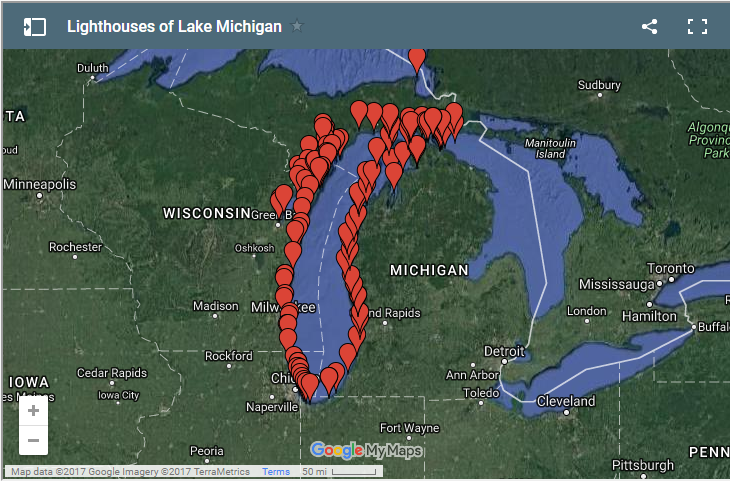
Boaters looking for summer cruising inspiration should look no further than the new 2017 Lake Michigan Lighthouse Map & Circle Tour, a map featuring the lighthouses along Lake Michigan’s shoreline released by the West Michigan Tourist Association.
The free map focuses on the 1,100-mile Lake Michigan Circle Tour Route, which winds through four states and pinpoints more than 100 lighthouses along the Lake Michigan shoreline and the Straits of Mackinac. The map also includes numbered icons of spots to dine, lodge, visit a museum, or shop. Organizers say the map is ideal for planning day or longer trips.
In particular, the map highlights 20 different lighthouses with pictures, additional structural
The Lake Michigan Lighthouse Map & Circle Tour is free and available at WMTA.org. Information centers and travel hubs can also request bulk quantities.